

About Armwings Drone Services
Who we are ….
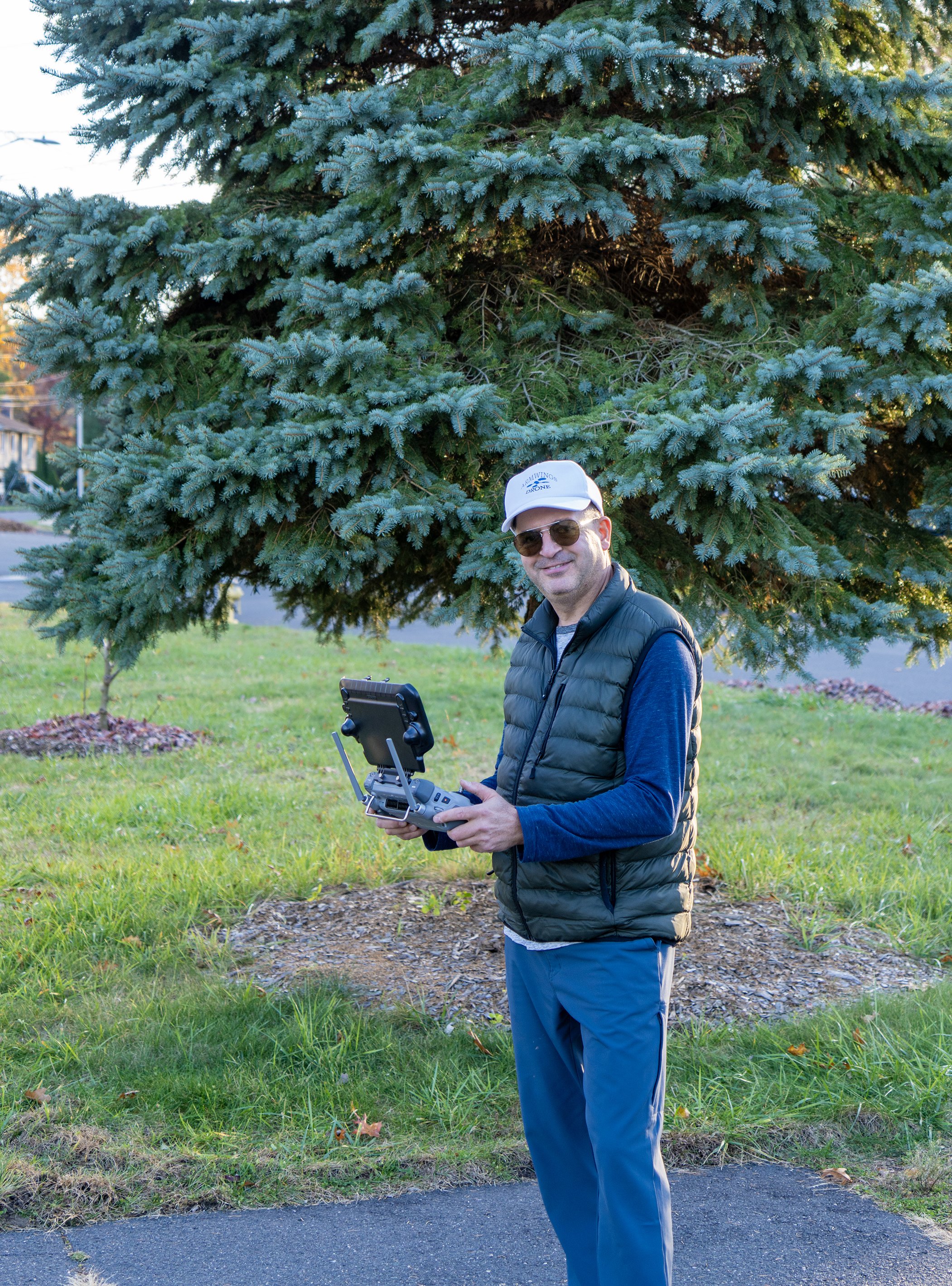
Armwings Drone Services was founded by Armen Manukyan,
an engineer by trade and an aviator by passion.
The company was built on one simple idea:
good decisions start with accurate data.
The company helps businesses collect accurate aerial data to plan, inspect, and manage their projects more efficiently.
Armen combines an engineering mindset with real-world flight experience to help businesses see, measure, and understand their sites from above—safely and efficiently.
Experience & Certifications
Armen holds professional training and certifications that ensure accuracy, safety, and compliance:
FAA Part 107 Remote Pilot Certificate (since 2018)
Certified in geodesy, GNSS positioning and survey methods
Advanced aerial mapping and 3D modeling
Digital twin creation
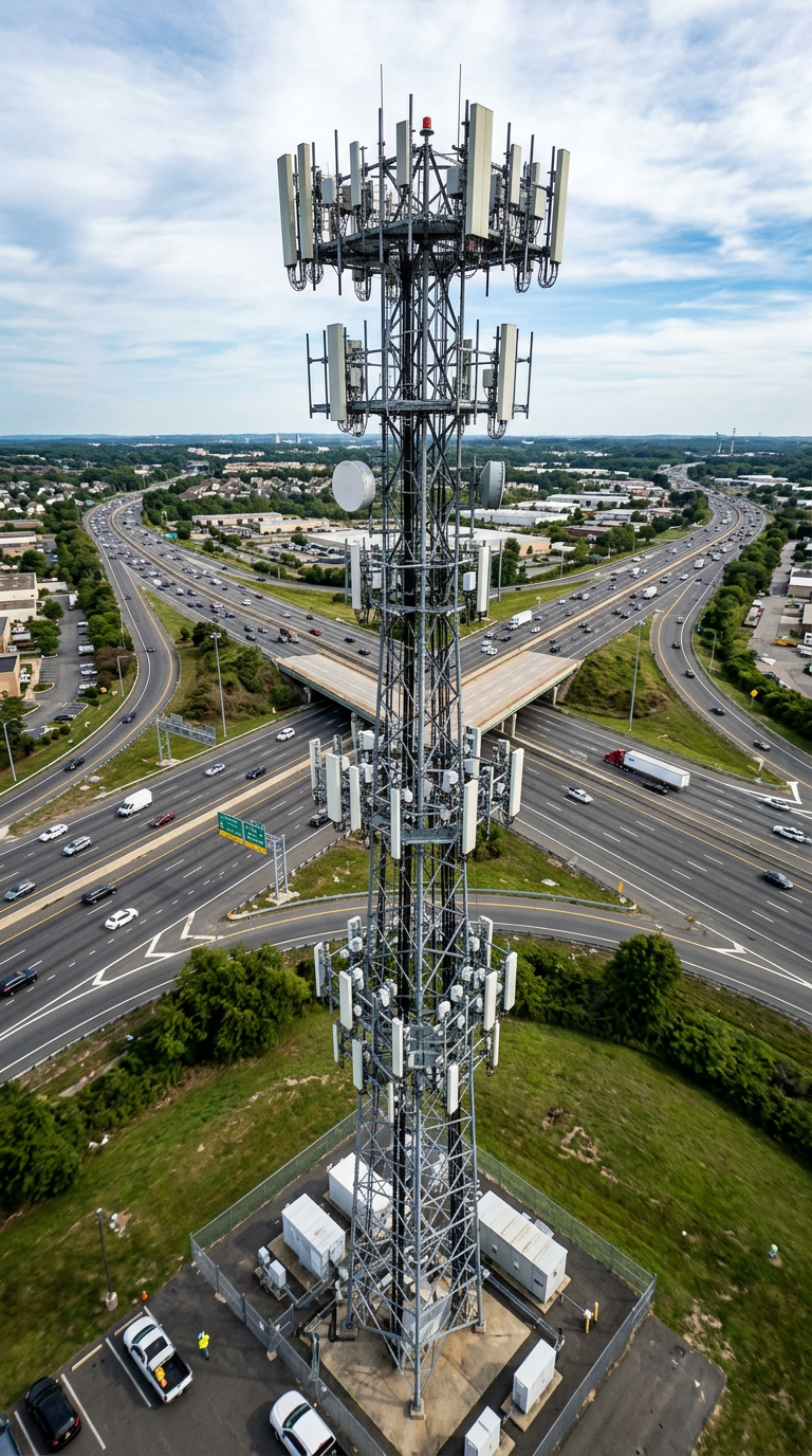
Cell tower and infrastructure inspections
These credentials matter because
accurate data is only useful when it’s collected the right way.
What We Do
Armwings Drone Services helps a wide range of industries collect and process reliable aerial data, including:
Construction and development
Volumetric analysis
Surveying and mapping
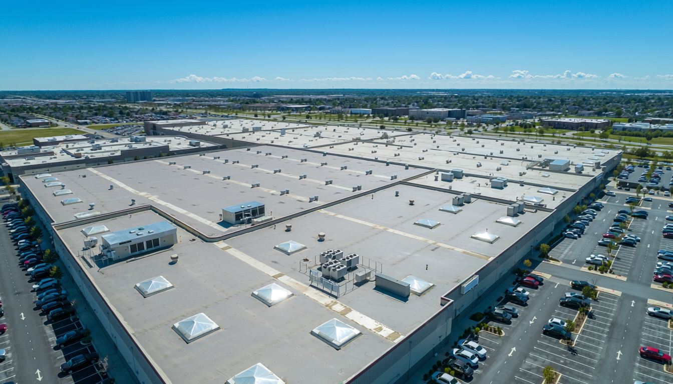
Property management
Commercial real estate
Communications and infrastructure
Public safety and inspections
The data collected is used for:
Planning new development sites
Building and roof inspections
Measuring land, stockpiles, and structures
Safety assessments and documentation
Driven by passion
Think of it as getting a clear, measurable picture of your project without putting people or equipment at risk.
Why Armwings . . .?
Engineering-driven accuracy
Safety-first operations
Clear, usable data—not just pictures
Reliable results you can plan and build on
Armwings Drone Services exists to help professionals work smarter,
safer, and with confidence—using data they can trust.
Reliable Sources (For Reference): FAA Part 107 Overview: https://www.faa.gov/uas/commercial_operators What Is a Digital Twin (NIST): https://www.nist.gov/digital-twinsCredentials
Our fleet
-
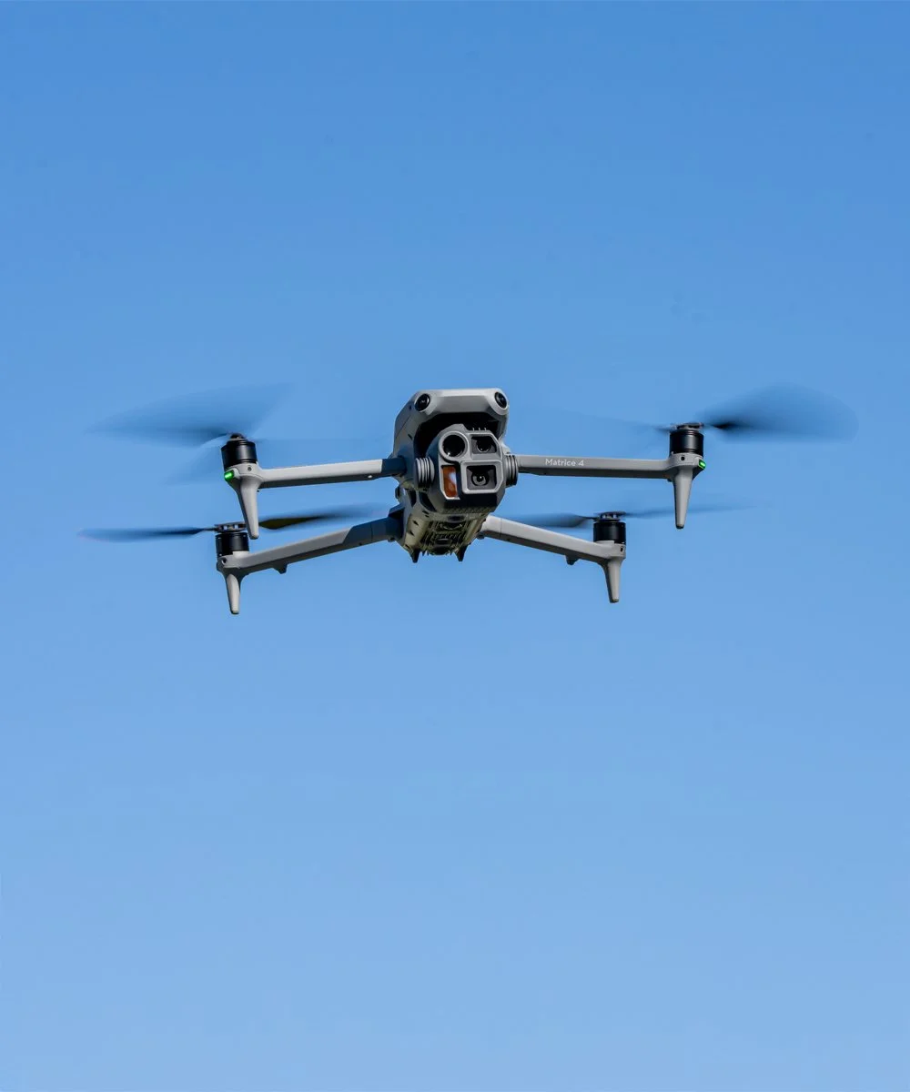
Matrice 4E
-
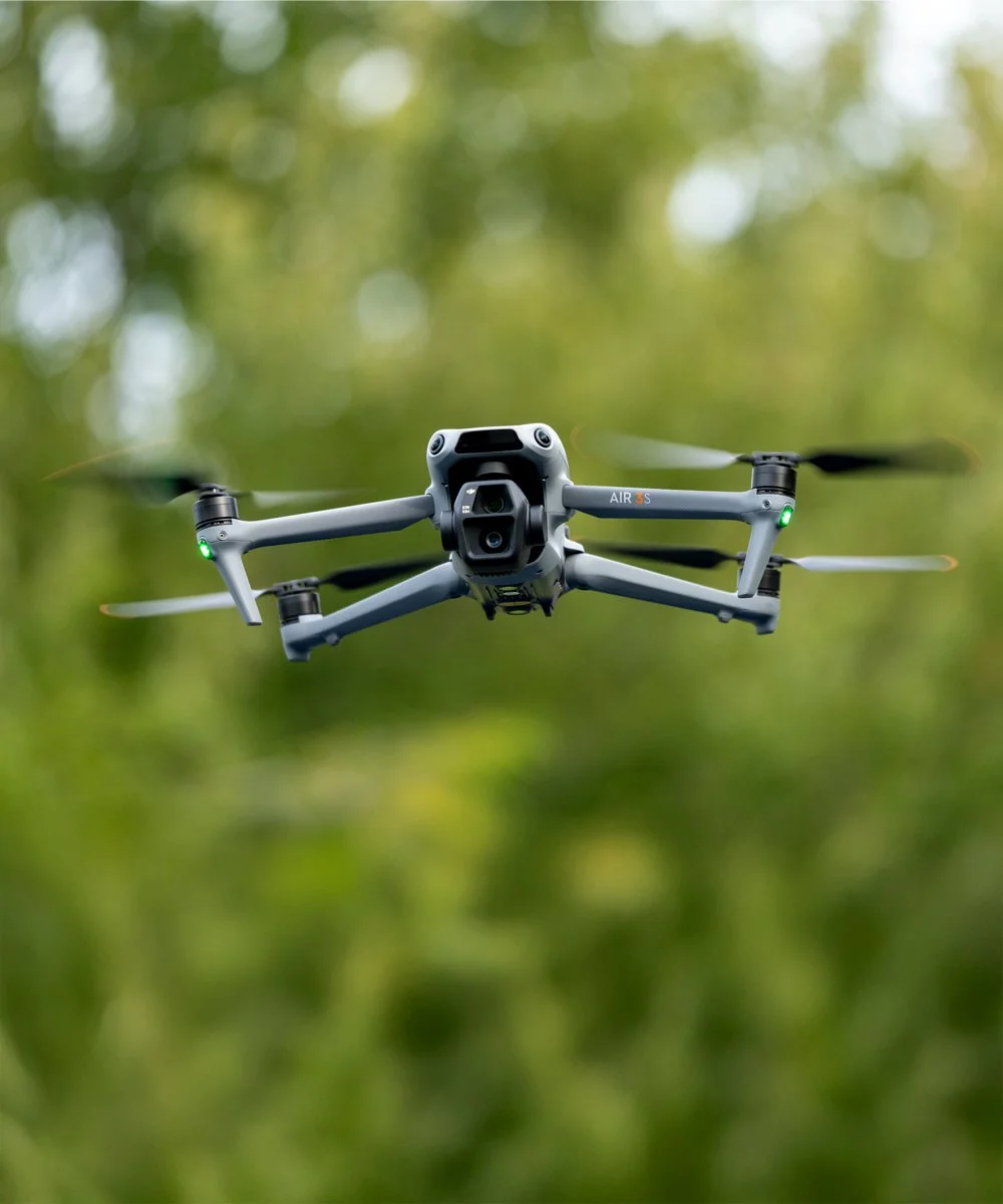
Air 3S
-
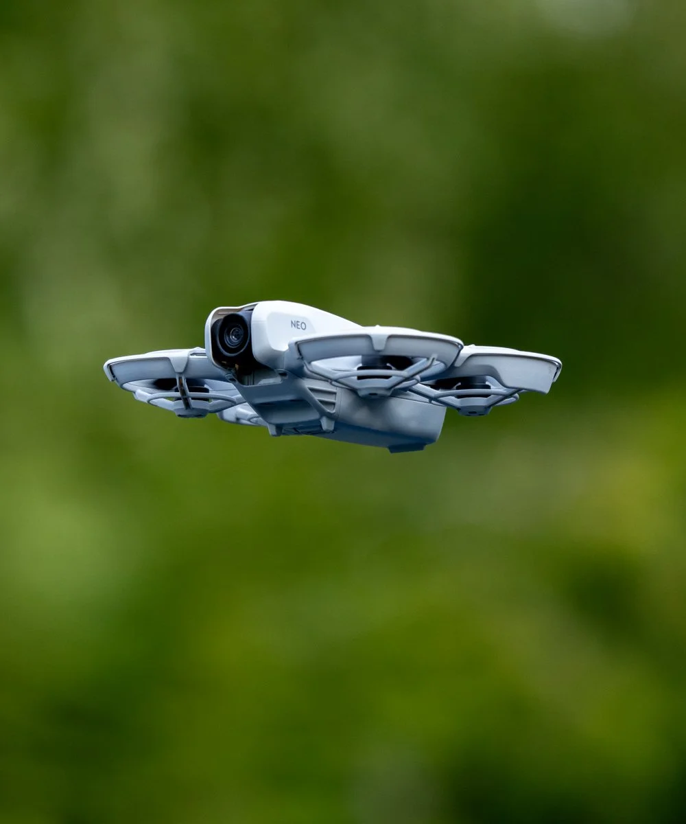
NEO